The Context
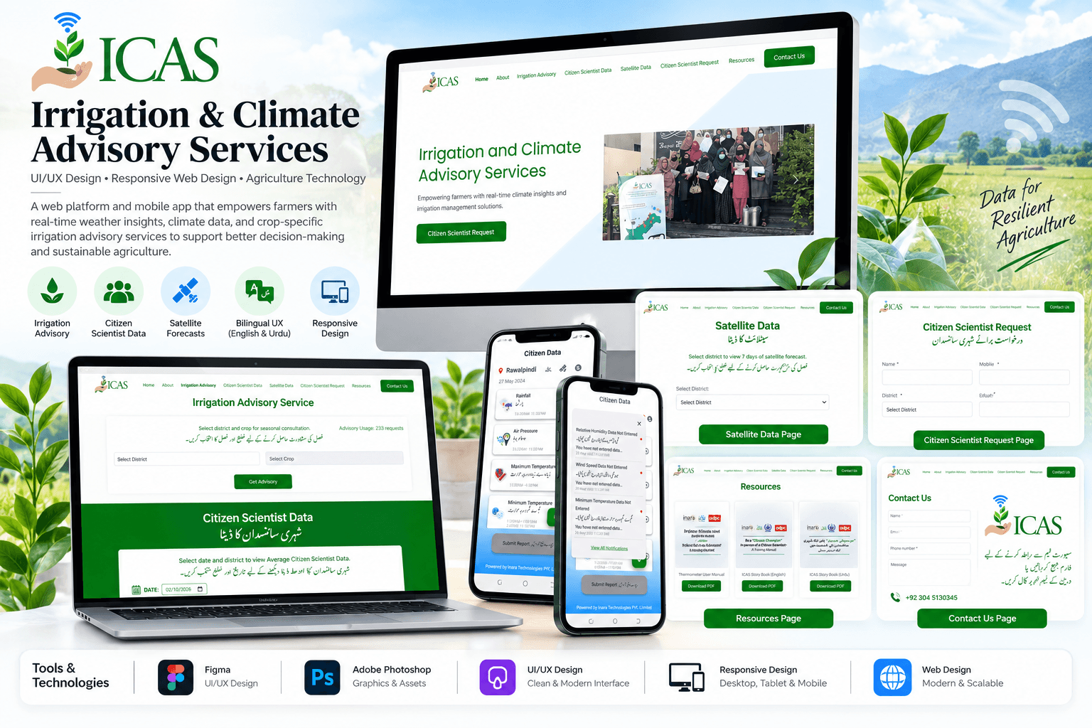
ICAS provides farmers with real-time irrigation and climate advisories by combining localized field data with satellite-derived information. The design needed to make this agricultural information accessible and understandable while supporting farmers in making better crop and water management decisions.
The Opportunity
The design focused on creating an inclusive digital experience that brings farmer-generated information and satellite data together in a simple and localized interface. The bilingual experience, location-based information, advisory content, and data-driven insights were structured to help farmers easily understand relevant irrigation and crop recommendations across different regions.
The Challenge
The platform needed to present highly contextual agricultural information to diverse farming communities while supporting bilingual access, geo-tagged information, real-time insights, and farmer-driven data collection. The design challenge was to keep these complex capabilities clear and accessible across both web and mobile experiences without overwhelming users.